The current El Niño weather pattern is rapidly intensifying and could become the strongest ever recorded as the World Meteorological Organization (WMO) warned on Thursday.
Forecasts show a near-100% probability that this "supersized" El Niño will persist through February 2027. WMO Secretary-General Celeste Saulo stated that if the current warming trajectory continues also the phenomenon will be "literally off the charts."
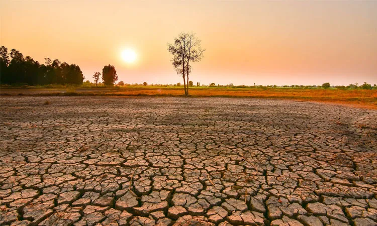
El Niño, a periodic warming of the eastern Pacific Ocean with significantly disrupts global weather by triggering intense droughts, floods and typhoons. While it is a natural occurrence, human-driven climate change and abnormally warm oceans are magnifying its effects. UN Secretary-General Antonio Guterres emphasized the danger also stating that "The planet is in uncharted waters and those waters are heating up."

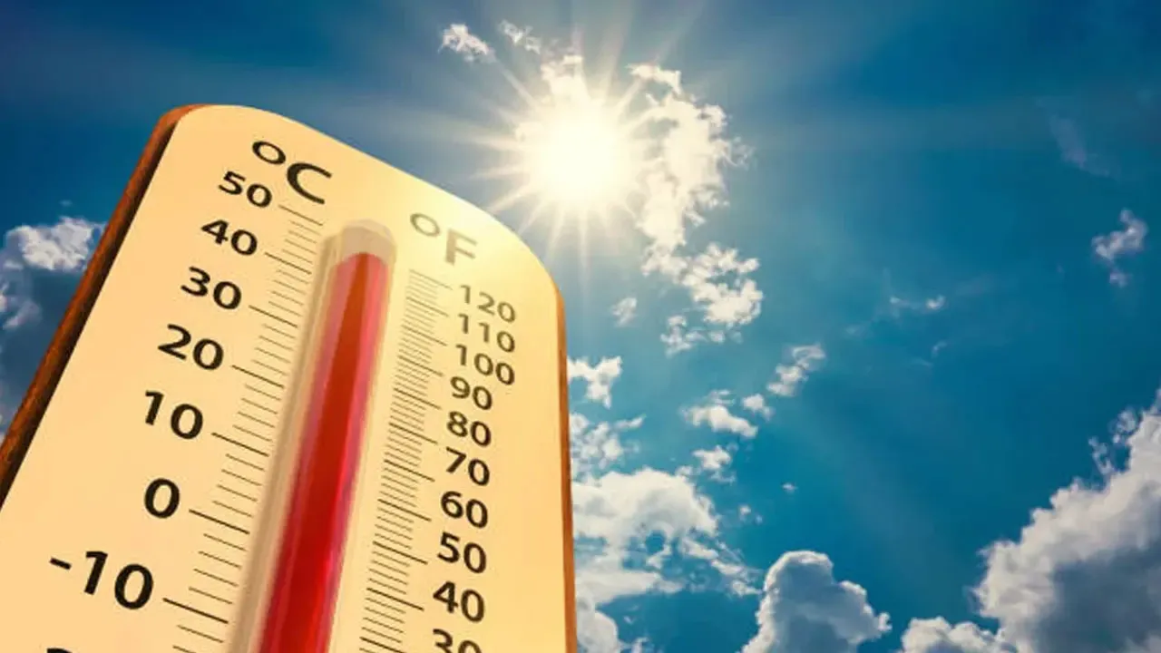
Current Pacific Ocean temperatures are already more than 2°C (3.6°F) above normal and placing this event in the rare "very strong" category. The severe weather has already sparked a major food crisis in Central America's Dry Corridor and threatens to disrupt global agricultural supplies.
The WMO predicts the phenomenon will peak later this year. Because global temperatures historically spike in the year following an El Niño, climate experts warn that 2027 has the potential to become the hottest year in recorded history.
To mitigate the impending fallout the WMO is urging governments to immediately scale up early warning systems and disaster preparedness. Proactive measures such as switching to drought-resistant crops and protecting vulnerable water resources will be critical to surviving the extreme climate shocks expected over the next year.